Grumpy Old Git
-
Posts
5,862 -
Joined
-
Last visited
-
Days Won
33
Content Type
Profiles
Forums
Events
Store
Gallery
Community Map
Everything posted by Grumpy Old Git
-

Good Morning Good Night and General Chat.
Grumpy Old Git replied to S-Westerly's topic in General Chat
Morninginging all -
Good Morning Good Night and General Chat.
Grumpy Old Git replied to S-Westerly's topic in General Chat
Get a 'Screaming Eagle' upgrade - The exhaust are baffled so that they are (just) under the legal maximum at full revs. -
Good Morning Good Night and General Chat.
Grumpy Old Git replied to S-Westerly's topic in General Chat
It is (again). -
Good Morning Good Night and General Chat.
Grumpy Old Git replied to S-Westerly's topic in General Chat
Good Afternoon one and all. -
Good Morning Good Night and General Chat.
Grumpy Old Git replied to S-Westerly's topic in General Chat
Aye up - I'm still alive (just). -
Good Morning Good Night and General Chat.
Grumpy Old Git replied to S-Westerly's topic in General Chat
Mornininingrrrrrrr -
Good Morning Good Night and General Chat.
Grumpy Old Git replied to S-Westerly's topic in General Chat
Good Evening -
Good Morning Good Night and General Chat.
Grumpy Old Git replied to S-Westerly's topic in General Chat
Good Morning - I see Trump has not nuked Jordon yet. -
Good Morning Good Night and General Chat.
Grumpy Old Git replied to S-Westerly's topic in General Chat
Gurd Afternooning -
Good Morning Good Night and General Chat.
Grumpy Old Git replied to S-Westerly's topic in General Chat
marnin -
Good Morning Good Night and General Chat.
Grumpy Old Git replied to S-Westerly's topic in General Chat
Maringe Beekers -
Good Morning Good Night and General Chat.
Grumpy Old Git replied to S-Westerly's topic in General Chat
Huntingdon Racecourse (we have lived within 600 yds of this venue for over 30 years and never been to a race meet!). -
Good Morning Good Night and General Chat.
Grumpy Old Git replied to S-Westerly's topic in General Chat
Morning all - Race day today and we have a corporate invite (including lunch)! -
Good Morning Good Night and General Chat.
Grumpy Old Git replied to S-Westerly's topic in General Chat
I am drafting the Parish Neighbourhood Plan which is a 4-year plan (extendable to 16 years) which, as well as giving a 'picture' of the village from early history to the present day, also details how we wish to progress going forwards. ie. Social development, industrial development, type and location of housing, Infrastructure, amenities, land management, etc. We had thought (naively) that as the village is bounded by flood plain, river and major arterial roads, we would not have any of the 'call for sites' responses carried forwards however, there are 18 proposed development sites identified, 17 of which have been agreed to stage 2, the 'craziest' is a 'Park & Ride' 9for Huntingdon), located in the river floodplain (this whole area floods at least twice every year and is essential in preventing major flooding in the surrounding area). Our village (Brampton) has tripled in size in the last 10 years and is on the cusp of being re-categorised as a town. Our plan is to ensure that all concerns are listed regarding future development as well as identifying areas of possible additional housing sites without affecting the flood plane or social amenities (ie. not simply 'NIMBY'). This is a mammoth task and will take some considerable time to complete - The government deadline is the 26th of this month! Apart from that - Good Moring all. -
Good Morning Good Night and General Chat.
Grumpy Old Git replied to S-Westerly's topic in General Chat
Still typing!!!!! -
Good Morning Good Night and General Chat.
Grumpy Old Git replied to S-Westerly's topic in General Chat
Good? Afternoon. I am busy writing up a Neighbourhood Plan in response to the Local Government Initiative (their Local Plan). -
Good Morning Good Night and General Chat.
Grumpy Old Git replied to S-Westerly's topic in General Chat
It is (again). -
Challenge 2024 Challenge 2024 - Discussion Thread
Grumpy Old Git replied to Hoggs's topic in General Rideouts/Meets
Numbers completed + 10 Hogs Tags completed. -
Challenge 2024 Challenge 2024 - Map and Pictures ONLY
Grumpy Old Git replied to Hoggs's topic in General Rideouts/Meets
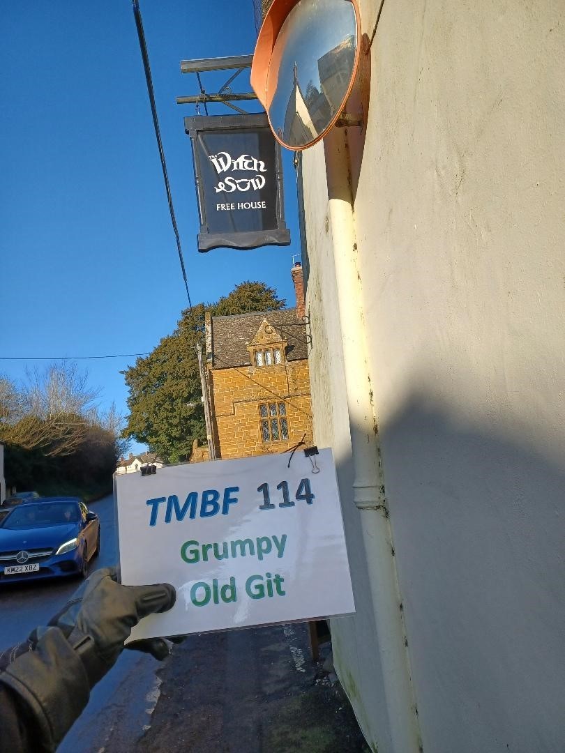
King George IV - Numbers No 4. Sow - Hogs Tags

-
Good Morning Good Night and General Chat.
Grumpy Old Git replied to S-Westerly's topic in General Chat
Morning all. Off on the last 'numbers' tag today as the weather is going to be OK. -
Good Morning Good Night and General Chat.
Grumpy Old Git replied to S-Westerly's topic in General Chat
That was my very recent experience darn sarf (westish). Anyhoo - Marninge Biekersish. -
Good Morning Good Night and General Chat.
Grumpy Old Git replied to S-Westerly's topic in General Chat
Ow do - Rain forecast today (again). -
Challenge 2024 Challenge 2024 - Map and Pictures ONLY
Grumpy Old Git replied to Hoggs's topic in General Rideouts/Meets
Stockhill Wood: Fyne Court: Dean Forest Railway: Number 1 (Cafe's / Pubs): Why do I insist in riding during Autumn - We leaves and muddy roads (tracks?). Neary 'off' twice and one look at the road(?) to Fyne Court had me turning around so I took a photo of the signpost at the bottom of the lane. And as to Stockhill Woods - I could not even get into the parking area due to the thick mud! I need to give the bike a good wash down this evening now I'm home.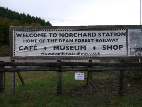


-
Good Morning Good Night and General Chat.
Grumpy Old Git replied to S-Westerly's topic in General Chat
Morning - Foggy - Preparing the bike (well trying to pack enough spare clothing into plastic bags and then into soft luggage for the ride 'darn sarf''). -
Challenge 2024 Challenge 2024 - Discussion Thread
Grumpy Old Git replied to Hoggs's topic in General Rideouts/Meets
Thanks @bonio - I can get that one (possibly next week).